Conférence : Geospatial Infrastructure Management Ecosystem (GeoIME) for disaster management...

Présentation scientifique au centre Eau Terre Environnement
QUAND : Mardi, le 24 janvier 2023, à 13h00
OU : 5413 (salon des professeurs - 5ème étage)
Titre: Geospatial Infrastructure Management Ecosystem (GeoIME) for disaster management and resilient building
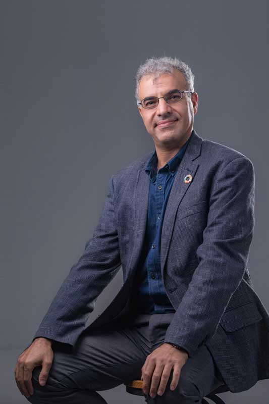
Dr. Adam/Saied Pirasteh / Southwest Jiaotong University, China
Abstract:
Monitoring safety infrastructures is a significant means of a resilient environment, protecting people’s safety and reducing property loss. However, some countries may challenge in determining pre-and-post earthquake vulnerability and risk estimation of buildings. I will present a cloud-based GeoIME application for spatial data infrastructure (SDI) to support monitoring, loss reduction, mitigation, and resilience in earthquake disasters. I will also demonstrate how this works with a few examples. I investigated and programmed the instruction building codes of the Federal Emergency Management Agency (FEMA-P-154). However, the content is entirely based on understanding geospatial knowledge, engineering, and disaster services. This presentation aims to contribute to Sustainable Development Goals (SDGs) 2030 and participate in the global sharing of experiences on utilizing geospatial information technologies like map storytelling to address disaster resilience and challenging issues of determining the vulnerability and risk estimation of buildings; and also provide with recommendations for retrofitting automatically and intelligently. Finally, I will give some suggestions that might be helpful to countries having similar issues since GeoIME has a good potential for scalability and customization.
Biography:
Adam/Saeid Pirasteh collected 22 years of experience in research, development, and teaching at various universities and industries in many countries. He is a university professor at Southwest Jiaotong University, Chengdu, China. He is also a Research Scientist collaborator at the Geospatial Sensing and Data Intelligence Lab, University of Waterloo, Canada. He is the United Nations Global Geospatial Information Management (UN-GGIM) expert Academic Network Advidory Board and collaborating with the UN Disaster Services and the UN Open GIS-WG for GeoAI and Capacity Building. He is the inventor and co-founder of the Geospatial Infrastructure Management Ecosystem (GeoIME) Technology System (www.geoime.ca; https://app.georvs.ca/#/). He was the recipient of several professional certificates and awards, for example, Life Saving Solution of The Year (2022) in the US. He is the author and co-author of more than 200 publications in refereed journals, conference proceedings, book chapters, books, and news and TV interviews. He also has 3 patents. Saeid is the Editor of the International Journal of Applied Earth Observation and Geoinformation (Elsevier), Sensors (MPDI), Remote Sensing (MPDI), Natural Hazards Research (Ministry of Emergency Management of China), Geoenvironmental Disasters (Springer), and Drones and Autonomous Vehicles. His research skills are in multi-disciplinary professionals in remote sensing data processing (satellite, drone, and LiDAR) and geospatial analysis, computer vision, GeoAI and smart mapping, Geoenvironmental hazards and disaster management, and GIS for specific purposes. He focuses on implementing the UN sustainable development goals (SDGs) 2030. Adam’s research migrated to integrating GeoAI and smart mapping, ML, development of geospatial algorithms, models, software, mobile and Web App-Geo App in geosciences applications beyond.